Weapon Firing: August 2024
The 19 weapon firing crimes reported in August 2024.
- Weapon fired into an occupied building, , at the 5200 block of N Memphis St in Gateway / Green Valley Ranch.
- Weapon fired into an occupied building, , at the 1400 block of N Osage St in Lincoln Park.
- Weapon fired into an occupied vehicle, , at 1600 W Evans Ave in College View / South Platte.
- Weapon fired into an occupied building, , at the 20500 block of E 45th Ave in Gateway / Green Valley Ranch.
- Weapon fired into an occupied building, , at the 200 block of N Quebec St in Lowry Field.
- Weapon fired into an occupied building, , at the 7400 block of E Byers Ave in Lowry Field.
- Weapon fired into an occupied building, , at the 1600 block of S King St in Mar Lee.
- Weapon fired into an occupied vehicle, , at S Monaco St and E Evans Ave in Goldsmith.
- Weapon fired into an occupied building, , at 600 S Holly St in Washington Virginia Vale.
- Weapon fired into an occupied building, , at 1231 E 26th Ave in Whittier.
- Weapon fired into an occupied building, , at the 2100 block of Arapahoe St in Five Points.
- Weapon fired into an occupied building, , at the 2300 block of Champa St in Five Points.
- Weapon fired into an occupied building, , at the 4500 block of N Flanders Way in Gateway / Green Valley Ranch.
- Weapon fired into an occupied vehicle, , at E 56th Ave and N Crown Blvd in Montbello.
- Weapon fired into an occupied building, , at the 7300 block of E Quincy Ave in Hampden South.
- Weapon fired into an occupied building, , at the 3000 block of W 20th Ave in Sloan Lake.
- Weapon fired into an occupied building, , at the 19800 block of E Robins Dr in Gateway / Green Valley Ranch.
- Weapon fired into an occupied vehicle, , at the 19800 block of E Robins Dr in Gateway / Green Valley Ranch.
- Weapon fired into an occupied vehicle, , at W Ohio Ave and S Canosa Clay alley in Athmar Park.
Saturday August 3
Monday August 5
Tuesday August 6
Thursday August 8
Tuesday August 13
Wednesday August 14
Friday August 16
Friday August 23
Monday August 26
Thursday August 29
Friday August 30
Saturday August 31
Featured: Denver's 2025 crime map.
Denver crime maps
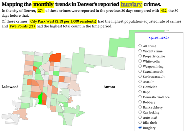
Denver crime trends map
The crimes trends map shows the change in crime counts and rates on a monthly and year-to-date basis.

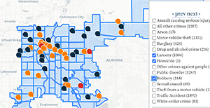
The Denver-city recent crime map
The recent crimes map shows where crimes across the city were reported in the last two or so months, and shows which addresses across the city have logged the most reported crimes.

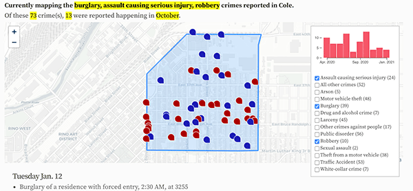
All city crime maps
Choose from neighborhood and crime-specific crime maps.
