Top-ten highest theft from a motor vehicle rates, by neighborhood, 2025
- DIA: 223.4 per 1,000 residents (275 incidents total)
- Auraria: 107.88 (89)
- Five Points: 36.7 (542)
- Civic Center: 35.05 (62)
- CBD: 29.64 (120)
- Jefferson Park: 27.24 (77)
- Globeville: 25.63 (91)
- Baker: 25.18 (146)
- Union Station: 24.69 (125)
- North Capitol Hill: 24.65 (146)
Top-ten highest theft from a motor vehicle counts, by neighborhood, 2025
- Five Points: 542 incidents
- Capitol Hill: 297
- Central Park: 278
- DIA: 275
- Gateway / Green Valley Ranch: 215
- Speer: 169
- Montbello: 168
- Highland: 151
- North Capitol Hill: 146
- Baker: 146
Featured: Each neighborhood now has a list of its high-crime addresses.
The Denver neighborhoods with the lowest theft from a motor vehicle numbers
These are the neighborhoods with the lowest total number of theft from a motor vehicles and the lowest population-adjusted theft from a motor vehicle rate in 2025
Best theft from a motor vehicle crime rates, by neighborhood, 2025
- Indian Creek: 2.85 per 1,000 residents (10 incidents total)
- Wellshire: 3.27 (11)
- Barnum: 3.49 (23)
- Hilltop: 3.8 (35)
- Montclair: 3.89 (23)
- North Park Hill: 4.08 (43)
- Fort Logan: 4.1 (36)
- Harvey Park: 4.33 (55)
- Barnum West: 4.61 (27)
- Mar Lee: 4.76 (65)
Lowest theft from a motor vehicle counts, by neighborhood, 2025
- Indian Creek: 10
- Wellshire: 11
- Regis: 21
- Kennedy: 22
- Montclair: 23
- Country Club: 23
- Barnum: 23
- Rosedale: 24
- Skyland: 26
- Barnum West: 27
Featured: Denver's 2025 crime map.
Denver crime maps
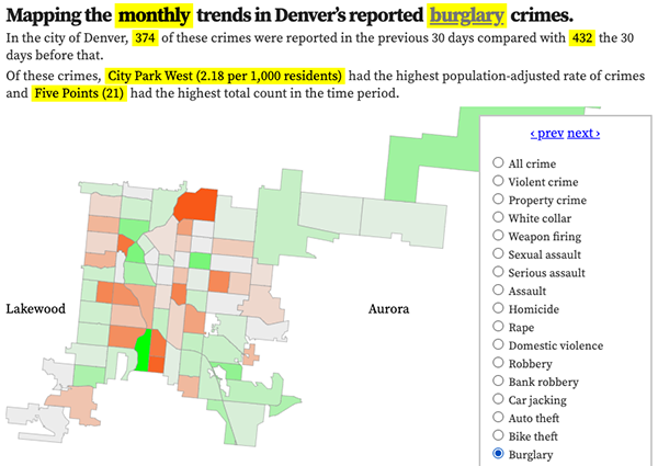
Denver crime trends map
The crimes trends map shows the change in crime counts and rates on a monthly and year-to-date basis.

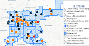
The Denver-city recent crime map
The recent crimes map shows where crimes across the city were reported in the last two or so months, and shows which addresses across the city have logged the most reported crimes.

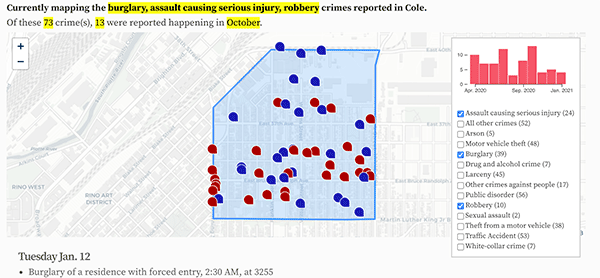
All city crime maps
Choose from neighborhood and crime-specific crime maps.
