- 1701 N Bryant St: 32
- 1000 N Federal Blvd: 29
- 1100 Block N Decatur St: 22
- 2600 Block W Holden Pl: 17
- 1155 N Decatur St: 15
- 620 N Federal Blvd: 14
- 2660 W Holden Pl: 13
- 2700 Block W 13th Ave: 12
- 1310 N Federal Blvd: 9
- 2800 Block W 10th Ave: 9
- 988 N Bryant St: 7
- 1025 N Decatur St: 6
- W 13th Ave / N Decatur St: 6
- 1000 Block N Decatur St: 6
- W 6th Ave / N Federal Blvd: 6
- 2506 W Colfax Ave: 6
- 2601 W 7th Ave: 6
- N Federal Blvd / W Howard Pl: 6
- 900 Block N Bryant St: 5
- 2800 W 10th Ave: 5
- 2855 W Holden Pl: 4
- W 14th Ave / N Federal Blvd: 4
- 2799 W 13th Ave: 4
- 2797 W 13th Ave: 4
- 1648 N Federal Blvd: 3
- 1800 N Federal Blvd: 3
- 1300 Block N Federal Blvd: 3
- 1200 N Federal Blvd: 3
- 602 N Canosa Ct: 3
- 1300 Block N Decatur St: 2
- 600 Block N Federal Blvd: 2
- 1100 N Federal Blvd: 2
- 1400 Block N Federal Blvd: 2
- 900 Block N Federal Blvd: 2
- 1000 Block N Federal Blvd: 2
- 830 N Federal Blvd: 2
- N Decatur St / W 13th Ave: 2
- 2929 W 10th Ave: 2
- 2900 W 10th Ave: 2
- 2505 W 7th Ave: 2
- 2935 W 7th Ave: 2
- N Canosa Ct / W 8th Ave: 2
- 2815 W 8th Ave: 2
- N Federal Blvd / W 14th Ave: 2
- N Decatur St / W 9th Ave: 2
- 2600 Block W 11th Ave: 2
- 700 N Alcott St: 2
- 1400 Block Morrison Rd: 2
Featured: Read the October 2025 Denver-city crime report.
Denver crime maps
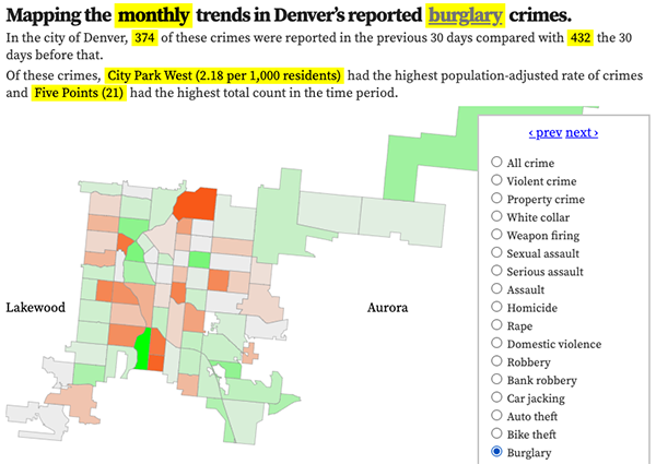
Denver crime trends map
The crimes trends map shows the change in crime counts and rates on a monthly and year-to-date basis.

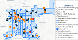
The Denver-city recent crime map
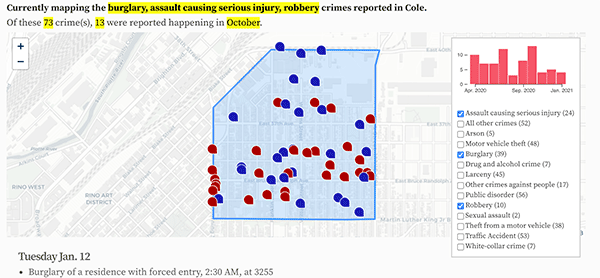
The recent crimes map shows where crimes across the city were reported in the last two or so months, and shows which addresses across the city have logged the most reported crimes.

All city crime maps
Choose from neighborhood and crime-specific crime maps.
