High traffic-crash intersections and streets in Montclair
These are the blocks and intersections in Montclair that have had the most traffic crashes this year. Click or tap any address or street for a list of that location's crimes and traffic incidents. See the list of Montclair high-crime addresses here.
See the list of Montclair high-crime addresses here.
New: Sign up for weekly or monthly email updates (when there's new crime data).
Denver crime maps
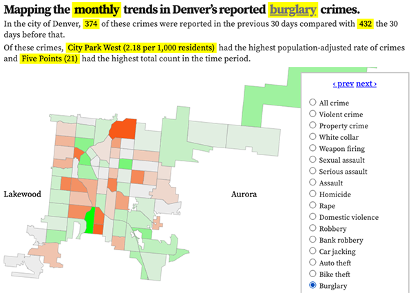
Denver crime trends map
The crimes trends map shows the change in crime counts and rates on a monthly and year-to-date basis.

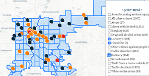
The Denver-city recent crime map
The recent crimes map shows where crimes across the city were reported in the last two or so months, and shows which addresses across the city have logged the most reported crimes.

All city crime maps
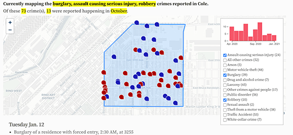
Choose from neighborhood and crime-specific crime maps.
