December 2022 crimes in Jefferson Park
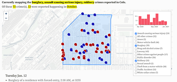
The crimes reported in Jefferson Park in December 2022.
- Burglary of a residence without forced entry, 9:23 AM, at 2233 N Eliot St.
- Criminal mischief to a motor vehicle, 7:00 AM, at 2633 W 25th Ave.
- Shoplifting, 3:52 PM, at 2660 N Federal Blvd.
- Shoplifting, 4:07 PM, at 2660 N Federal Blvd.
- Robbery of a business using a weapon, 6:00 PM, at 2524 N Federal Blvd.
- Theft of parts from a vehicle, 3:00 PM, at 1919 Mile High Stadium Cir.
- Possession of drug paraphernalia, 1:37 PM, at the 2900 block of W 20th Ave.
- Motor vehicle theft, 5:55 AM, at 2401 N Alcott St.
- Motor vehicle theft, 4:00 PM, at N Clay St and W 26th Ave.
- Possession of an illegal/dangerous weapon, 5:18 AM, at W 21St Ave and N Clay St.
- Theft of items from a vehicle, 7:00 PM, at the 2400 block of N Bryant St.
- Theft - other, 9:00 AM, at 2418 N Federal Blvd.
- Theft of items from a vehicle, 7:00 PM, at 2345 N Clay St.
- Theft - other, 3:10 PM, at 2739 W 24th Ave.
- Motor vehicle theft, 12:01 AM, at 1975 Mile High Stadium Cir.
- Motor vehicle theft, 4:00 PM, at 2660 N Federal Blvd.
- Criminal mischief to a motor vehicle, 9:00 PM, at 2190 N Bryant St.
- Motor vehicle theft, 7:30 AM, at the 2300 block of N Clay St.
- Motor vehicle theft, 12:00 AM, at the 2400 block of W 27th Ave.
- Motor vehicle theft, 7:30 AM, at 2401 N Alcott St.
- Criminal mischief - other, 6:08 PM, at 2737 N Decatur St.
- Motor vehicle theft, 8:00 AM, at the 2400 block of W 26th Ave.
- Theft from a building, 2:15 PM, at 2718 W 28th Ave.
Thursday Dec. 1
Friday Dec. 2
Monday Dec. 5
Tuesday Dec. 6
Saturday Dec. 10
Sunday Dec. 11
Monday Dec. 12
Tuesday Dec. 13
Wednesday Dec. 14
Friday Dec. 16
Saturday Dec. 17
Sunday Dec. 18
Wednesday Dec. 21
Saturday Dec. 24
Tuesday Dec. 27
Thursday Dec. 29
Featured: Each neighborhood now has a list of its high-crime addresses.
Denver crime maps
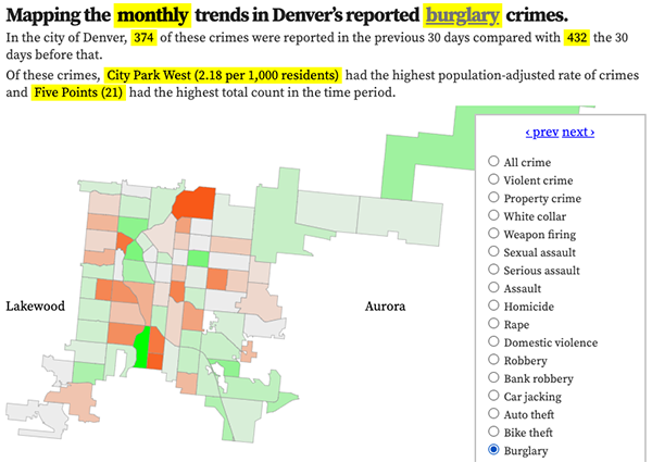
Denver crime trends map
The crimes trends map shows the change in crime counts and rates on a monthly and yearly basis.

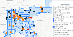
The Denver-city recent crime map
The recent crimes map shows where crimes across the city were reported in the last two or so months, and shows which addresses across the city have logged the most reported crimes.

All city crime maps
Choose from neighborhood and crime-specific crime maps.
