May 2024 crimes in Hilltop
The 23 crimes reported in Hilltop in May 2024.
- Criminal mischief to a motor vehicle, 1:00 AM, at 82 N Jasmine St.
- Motor vehicle theft, 1:00 PM, at 150 S Monaco St.
- Theft from a building, 7:00 PM, at 150 S Monaco St.
- Motor vehicle theft, 12:00 AM, at E 5th Ave and N Albion St.
- Threatening to injure, 10:20 PM, at 6780 E Cedar Ave.
- Motor vehicle theft, 5:30 PM, at 6780 E Cedar Ave.
- Criminal mischief to a motor vehicle, 3:50 AM, at 6540 E Bayaud Ave.
- Theft from a building, 12:00 PM, at 181 N Newport St.
- Theft of items from a vehicle, 9:00 PM, at 78 N Ash St.
- Theft - other, 11:58 AM, at 230 S Monaco St.
- Burglary and auto theft at a residence without forced entry, 8:00 PM, at 121 S Clermont St.
- Motor vehicle theft, 7:00 PM, at E Bayaud Ave and S Monaco St.
- Theft of items from a vehicle, 4:30 AM, at 301 N Dexter St.
- Theft from a building, 10:00 AM, at 240 S Monaco St.
- Selling methampetamine, 4:17 PM, at E Ellsworth Ave and S Albion St.
- Bicycle theft, 9:35 AM, at 330 N Albion St.
- Theft - other, 6:30 PM, at 222 S Fairfax St.
- Theft from a building, 6:00 AM, at 246 N Glencoe St.
- Theft of items from a vehicle, 12:00 AM, at 60 N Colorado Blvd.
- Theft of items from a vehicle, 8:00 PM, at 340 N Albion St.
- Motor vehicle theft, 2:00 PM, at 101 S Kearney St.
- Theft - other, 1:13 PM, at 240 S Monaco St.
- Theft of items from a vehicle, 11:00 PM, at the 200 block of N Dexter St.
Wednesday May 1
Friday May 3
Saturday May 4
Sunday May 5
Tuesday May 7
Wednesday May 8
Thursday May 9
Friday May 10
Sunday May 12
Monday May 13
Tuesday May 14
Monday May 20
Wednesday May 22
Thursday May 23
Friday May 24
Saturday May 25
Sunday May 26
Wednesday May 29
Featured: Denver's 2025 crime map.
Denver crime maps
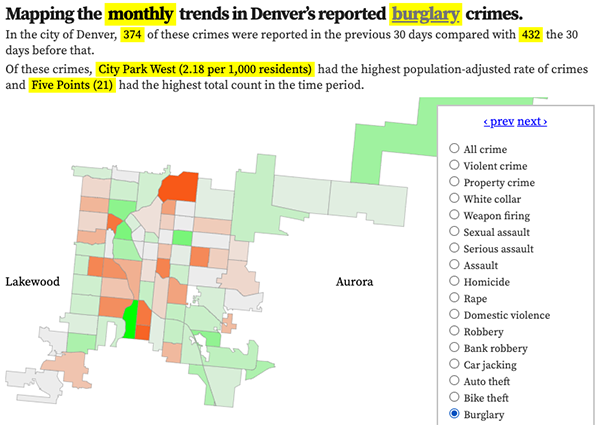
Denver crime trends map
The crimes trends map shows the change in crime counts and rates on a monthly and year-to-date basis.

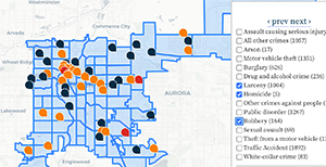
The Denver-city recent crime map
The recent crimes map shows where crimes across the city were reported in the last two or so months, and shows which addresses across the city have logged the most reported crimes.

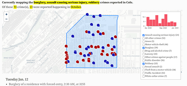
All city crime maps
Choose from neighborhood and crime-specific crime maps.
