- 4600 Block S Lowell Blvd: 20
- 3663 S Sheridan Blvd: 18
- 4700 Block S Lowell Blvd: 17
- 4700 Block W Quincy Ave: 15
- 4725 W Quincy Ave: 11
- 3600 Block S Sheridan Blvd: 6
- 3520 W Oxford Ave: 6
- 4400 Block S Quitman St: 5
- 4500 Block S Lowell Blvd: 4
- 4157 S Knox Ct: 4
- 3551 S Raleigh St: 4
- 4643 S Lowell Blvd: 3
- 3600 Block W Union Ave: 3
- 4300 Block W Kenyon Ave: 3
- 4400 Block S Zenobia St: 3
- 3300 Block W Wagon Trail Dr: 3
- 3700 Block S Golden Ct: 3
- 4725 S Lowell Blvd: 2
- 4400 Block S Lowell Blvd: 2
- 4300 Block S Lowell Blvd: 2
- 3800 Block S Chase St: 2
- 3701 W Radcliff Ave: 2
- 3700 Block W Union Ave: 2
- 5900 Block W Mansfield Ave: 2
- 4600 Block S Quitman St: 2
- 4463 S Quitman St: 2
- 4200 Block W Kenyon Ave: 2
- 4800 W Kenyon Ave: 2
- 5195 W Quincy Ave: 2
- 5100 Block W Quincy Ave: 2
- 4400 Block S Utica St: 2
- 5500 W Hampden Ave: 2
- 3525 W Oxford Ave: 2
- 4800 Block W Princeton Ave: 2
- 3800 Block W Saratoga Ave: 2
- 4400 Block S Newton St: 2
- 4446 S Newton St: 2
- 4500 Block W Stanford Ave: 2
New: Property crime per neighborhood compared, 2024 vs. 2023.
Denver crime maps
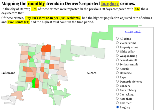
Denver crime trends map
The crimes trends map shows the change in crime counts and rates on a monthly and year-to-date basis.

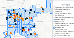
The Denver-city recent crime map
The recent crimes map shows where crimes across the city were reported in the last two or so months, and shows which addresses across the city have logged the most reported crimes.

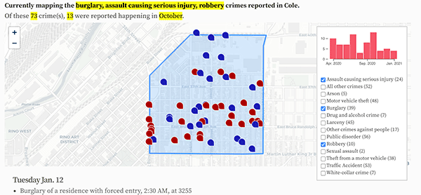
All city crime maps
Choose from neighborhood and crime-specific crime maps.
