October 2025 crimes in Barnum
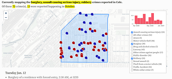
The 23 crimes reported in Barnum in October 2025.
- Public order offense - other, 1:06 AM, at the 200 block of N Federal Blvd.
- Disturbing the peace, 1:06 AM, at the 200 block of N Federal Blvd.
- Theft of parts from a vehicle, 6:00 PM, at 3033 W Alameda Ave.
- Motor vehicle theft, 9:30 PM, at 3150 W Bates Ave.
- Possession of an illegal/dangerous weapon, 4:25 AM, at W Bayaud Ave and S Federal Blvd.
- Other dangerous drugs - PCS, 9:41 PM, at S Federal Blvd and W Cedar Ave.
- Possession of drug paraphernalia, 10:00 PM, at W Ellsworth Ave and S Federal Blvd.
- Motor vehicle theft, 4:00 AM, at 3150 W Bayaud Ave.
- Theft - other, 1:18 AM, at 85 N Hooker St.
- Theft from a building, 11:05 AM, at the 3700 block of W Alameda Ave.
- Violation of a restraining order, 9:00 AM, at the 200 block of S Federal Blvd.
- Theft from a building, 1:33 PM, at 3299 W Alameda Ave.
- Theft - other, 9:30 PM, at the 300 block of N Hooker St.
- Unlawful discharge of a weapon, 6:49 AM, at 3311 W 5th Ave.
- Unlawful discharge of a weapon, 4:22 AM, at 3215 W 4th Ave.
- Criminal trespassing, 5:16 PM, at the 200 block of S Julian St.
- Shoplifting, 5:00 PM, at 255 S Hooker St.
- Unlawful discharge of a weapon, 6:15 AM, at 535 N Lowell Blvd.
- Motor vehicle theft, 12:30 PM, at 375 N Osceola St.
- Theft of items from a vehicle, 7:00 AM, at the 00 block of S Grove St.
- Theft - other, 5:10 PM, at 202 S King St.
- Threatening to injure, 7:00 PM, at 90 N Knox Ct.
- Violation of a court order, 1:22 AM, at the 300 block of N Knox Ct.
Thursday Oct. 2
Sunday Oct. 5
Monday Oct. 6
Wednesday Oct. 8
Friday Oct. 10
Saturday Oct. 11
Monday Oct. 13
Tuesday Oct. 14
Wednesday Oct. 15
Saturday Oct. 18
Sunday Oct. 19
Tuesday Oct. 21
Tuesday Oct. 28
Friday Oct. 31
Updated: Colorado state crime rate charts.
Denver crime maps
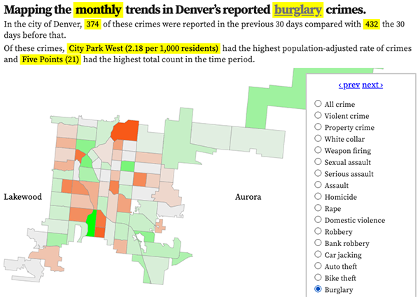
Denver crime trends map
The crimes trends map shows the change in crime counts and rates on a monthly and year-to-date basis.

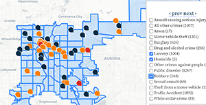
The Denver-city recent crime map
The recent crimes map shows where crimes across the city were reported in the last two or so months, and shows which addresses across the city have logged the most reported crimes.

All city crime maps
Choose from neighborhood and crime-specific crime maps.
