- 2000 Elitch Cir: 75
- 1000 Chopper Cir: 66
- 900 Auraria Pkwy: 33
- 1351 5th St: 20
- 950 Walnut St: 16
- 1653 14th St: 15
- 1191 Larimer St: 14
- N Speer Blvd / Lawrence St: 11
- 1200 Larimer St: 10
- 1060 St Francis Way: 10
- 1155 10th St: 9
- 1201 Larimer St: 9
- 318 Walnut St: 9
- 1190 Auraria Pkwy: 8
- N Speer Blvd / Larimer St: 7
- 855 Lawrence Way: 7
- 1399 Wazee St: 7
- 1111 W Colfax Ave: 7
- N Speer Blvd / Wewatta St: 6
- 890 Auraria Pkwy: 5
- 1055 10th St: 5
- 7th St / Walnut St: 5
- 777 Lawrence Way: 5
- 1449 7th St: 5
- 14th St / Market St: 5
- 1255 10th St: 4
- 1050 10th St: 4
- 950 10th St: 4
- 1310 Larimer St: 4
- 1400 Block 14th St: 4
- 1322 Blake St: 4
- 1338 1st St: 4
- 11th St / Auraria Pkwy: 3
- N Speer Blvd / Champa St: 3
- 800 Curtis St: 3
- 955 Lawrence Way: 3
- N Speer Blvd / Blake St: 3
- Cherry Creek Bike Path At Stout St: 3
- Stout St / N Speer Blvd: 3
- Market St / N Speer Blvd: 3
- 1700 9th St: 3
- 1100 Chopper Cir: 2
- 1201 Elitch Cir: 2
- 1143 Auraria Pkwy: 2
- 1123 Auraria Pkwy: 2
- S Speer Blvd / Auraria Pkwy: 2
- 901 Auraria Pkwy: 2
- 1628 14th St: 2
- 1640 14th St: 2
- 1698 14th St: 2
- 9th St / Walnut St: 2
- 901 Walnut St: 2
- 7th St / Curtis St: 2
- 1201 5th St: 2
- 1250 5th St: 2
- 799 Lawrence Way: 2
- 7th St / Lawrence Way: 2
- 14th St / Wazee St: 2
- 1401 Wazee St: 2
- 1311 W Colfax Ave: 2
- 1101 W Colfax Ave: 2
- Larimer St / 11th St: 2
- Walnut St / 11th St: 2
- Cherry Creek Trail / Stout St: 2
- Chopper Cir / N Speer Blvd: 2
- N Speer Blvd / N Kalamath St: 2
Featured: Read the October 2025 Denver-city crime report.
Denver crime maps
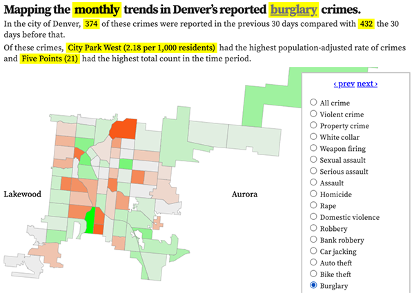
Denver crime trends map
The crimes trends map shows the change in crime counts and rates on a monthly and year-to-date basis.

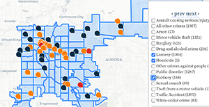
The Denver-city recent crime map
The recent crimes map shows where crimes across the city were reported in the last two or so months, and shows which addresses across the city have logged the most reported crimes.

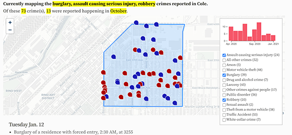
All city crime maps
Choose from neighborhood and crime-specific crime maps.
