Weapon Firing: April 2024
The 18 weapon firing crimes reported in April 2024.
- Weapon fired into an occupied vehicle, , at I-70 west-bound and N Havana St in Central Park.
- Weapon fired into an occupied building, , at 12990 E Andrews Dr in Montbello.
- Weapon fired into an occupied vehicle, , at the 2100 block of S Depew St in Harvey Park.
- Weapon fired into an occupied building, , at 1205 N Yosemite St in East Colfax.
- Weapon fired into an occupied building, , at 2000 S Irving St in Harvey Park.
- Weapon fired into an occupied building, , at 5110 N Depew Ct in Regis.
- Weapon fired into an occupied vehicle, , at I-70 east-bound and I-25 north-bound in Globeville.
- Weapon fired into an occupied building, , at 14151 E Elk Pl in Montbello.
- Weapon fired into an occupied building, , at 1350 N Xenia St in East Colfax.
- Weapon fired into an occupied building, , at 1051 14th St in CBD.
- Weapon fired into an occupied building, , at 14395 E 47th Dr in Montbello.
- Weapon fired into an occupied building, , at 8555 E Fairmount Dr in Windsor.
- Weapon fired into an occupied building, , at 4146 N Raritan St in Sunnyside.
- Weapon fired into an occupied building, , at 625 S Dale Ct in Athmar Park.
- Weapon fired into an occupied building, , at 17507 E 61St Ave in DIA.
- Weapon fired into an occupied vehicle, , at E 38th Ave and N York St in Clayton.
- Weapon fired into an occupied building, , at 2565 S University Blvd in University.
- Weapon fired into an occupied vehicle, , at the 8800 block of E Colfax Ave in East Colfax.
Monday April 1
Friday April 5
Saturday April 6
Sunday April 7
Tuesday April 9
Friday April 12
Saturday April 13
Sunday April 14
Tuesday April 16
Wednesday April 17
Saturday April 20
Sunday April 21
Thursday April 25
Saturday April 27
Monday April 29
Featured: Each neighborhood now has a list of its high-crime addresses.
Denver crime maps
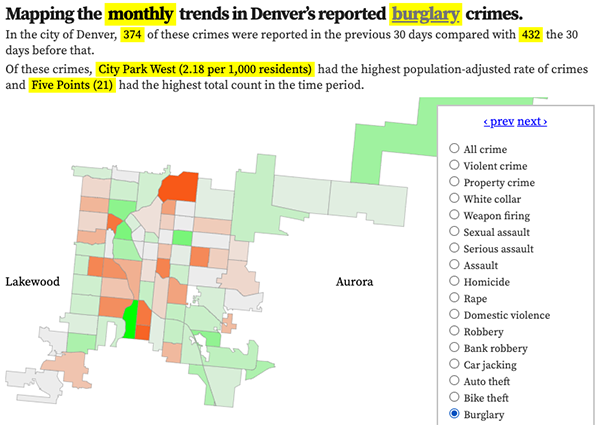
Denver crime trends map
The crimes trends map shows the change in crime counts and rates on a monthly and year-to-date basis.

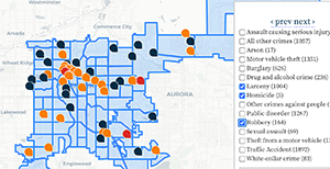
The Denver-city recent crime map
The recent crimes map shows where crimes across the city were reported in the last two or so months, and shows which addresses across the city have logged the most reported crimes.

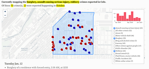
All city crime maps
Choose from neighborhood and crime-specific crime maps.
