Weapon Firing: December 2023
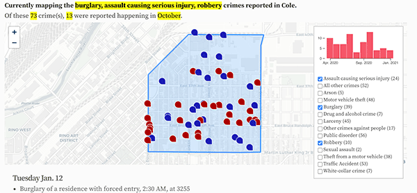
The 16 weapon firing crimes reported in December 2023.
- Weapon fired into an occupied vehicle, , at the 3800 block of W 44th Ave in Berkeley.
- Weapon fired into an occupied building, , at 7800 E Colfax Ave in East Colfax.
- Weapon fired into an occupied building, , at 5262 N Eliot St in Chaffee Park.
- Weapon fired into an occupied building, , at 5055 N Scranton Ct in Montbello.
- Weapon fired into an occupied vehicle, , at the 5100 block of W Center Dr in Westwood.
- Weapon fired into an occupied building, , at 827 S Vrain St in Westwood.
- Weapon fired into an occupied vehicle, , at E 48th Ave and N Ivy St in Northeast Park Hill.
- Weapon fired into an occupied building, , at 5225 N Hannibal St in Gateway / Green Valley Ranch.
- Weapon fired into an occupied building, , at 8275 E Colfax Ave in East Colfax.
- Weapon fired into an occupied building, , at 4839 N St Paul St in Elyria-Swansea.
- Weapon fired into an occupied building, , at 10700 E Dartmouth Ave in Kennedy.
- Weapon fired into an occupied building, , at 1401 N Wabash St in East Colfax.
- Weapon fired into an occupied building, , at 3401 W Exposition Ave in Westwood.
- Weapon fired into an occupied building, , at the 4700 block of N Clark Pl in Globeville.
- Weapon fired into an occupied building, , at 5289 N Chandler Way in Montbello.
- Weapon fired into an occupied building, , at 10025 E Girard Ave in Hampden.
Monday Dec. 4
Tuesday Dec. 5
Friday Dec. 8
Sunday Dec. 10
Friday Dec. 15
Saturday Dec. 16
Monday Dec. 18
Friday Dec. 22
Saturday Dec. 23
Wednesday Dec. 27
Saturday Dec. 30
Sunday Dec. 31
Brand new: Read the September 2024 Denver-city crime report.
Denver crime maps
Denver crime trends map
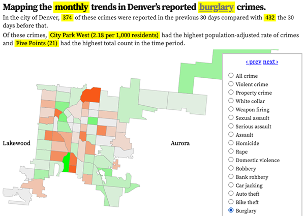
The crimes trends map shows the change in crime counts and rates on a monthly and year-to-date basis.

The Denver-city recent crime map
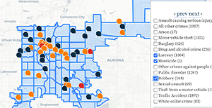
The recent crimes map shows where crimes across the city were reported in the last two or so months, and shows which addresses across the city have logged the most reported crimes.

All city crime maps
Choose from neighborhood and crime-specific crime maps.
